By Farinaz Rikhtehgaran, Aislynn Sharrock, and Atiya Mahmood
For the full newsletter, click here.
There are barriers created by urban built environments for people living with disabilities that influence outdoor mobility and social participation (Mahmood et al., 2019; Labbé et al., 2020) The Towards Barrier-Free Communities: A Partnership to Improve Mobility, Access, and Participation (MAP) Among People with Disabilities1, is a collaborative research project between UBC, SFU, and the ULaval that supports community organizations and municipalities to develop, evaluate, and implement evidence-based interventions to contribute to the development of barrier-free communities. The MAP project adopts a community-engaged approach, ensuring that the communities affected by these barriers are involved throughout the research process. The project ensures this by continually engaging with people with lived experiences (PWLE), municipalities, and stakeholders. A subproject surmised under the broader MAP partnership is the Stakeholder Walkability/Wheelability Audit in Neighbourhoods (SWAN) project. The SWAN project is led by Dr. Atiya Mahmood at SFU and is a scaling up of the dEMAND2 project, which utilized the SWAN tool to assess the accessibility of urban environments through the perspective of people with mobility disabilities.
SWAN is a user-friendly observational tool that was originally developed by Dr. Mahmood, to capture the perspectives of older adults and people with mobility disabilities. It has five domains including functionality, safety, land use and supportive features, appearance and maintenance, and social aspects that each explore different dimensions of local neighbourhoods. With the aid of this tool, our team is currently collecting data with three populations – persons living with dementia, who are D/deaf or Hard of Hearing, and mobility device users in each of our six partner municipalities in Metro Vancouver.
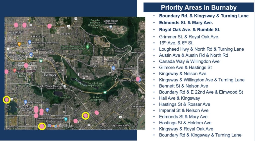
Adopting a community-engaged approach, the SWAN project involves PWLE as co-researchers in designing, implementing, and evaluating the data collection tools and process. For example, during the tool adaptation process, PWLE guided what items would be included in the adapted SWAN tools, developed the data collection procedures, and supported the selection of the data collection sites. More specifically, the SWAN research team engaged stakeholders in the process of identifying locations for data collection through a collaborative forum that required several months of planning and preparation. Steps taken in preparation included the team pre-identifying problematic intersections in each municipality by overlaying GIS3 data layers (e.g., collision, urban centres, transportation hubs), conducting site observations, and consulting the municipalities about the sites.
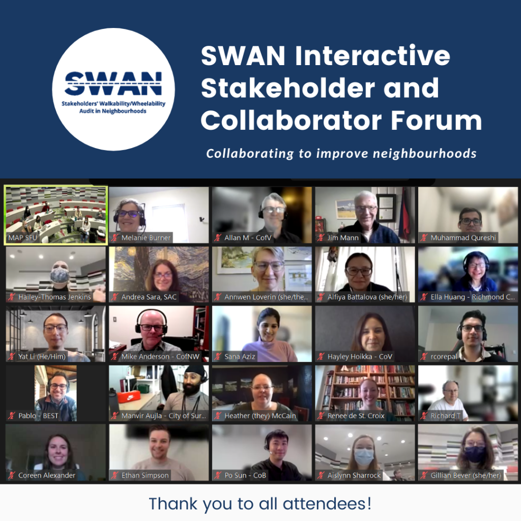
Once all the preparation concluded, the research team hosted the hybrid forum in March 2022 to gain in-depth information about our selected sites. In total, 40 attendees including field experts, PWLE, and municipal representatives attended the event and engaged in a dynamic discussion in both smaller interactive rooms, and a larger group discussion. Discussions were supported by Google Jamboards that displayed bird’s-eye photos of each site, targeted questions and prompts, and space for attendee’s feedback. Each discussion was facilitated by a trained research team member and captured by notetakers who displayed summaries of the discussions on the Jamboards in real time.
Besides helping the research team to finalize the selected data collection sites, the forum provided detailed and nuanced information about the sites themselves. It was revealed that concerns at these sites crosscut through the municipalities; major concerns included insufficient crossing times at crosswalks and poorly demarcated road spaces for vehicles, cyclists, and pedestrians. Concerns also emerged related to specific disability groups – for instance, for people with hearing disabilities it was revealed that there was insufficient auditory cues available to help them safely navigate busy intersections, alongside poor directional information for those with cognitive, mobility, and sensory disabilities.
Beyond discussing what was working and not working at sites, the discussions also centred on the feasibility of improving the accessibility of these areas and challenges that might be encountered when doing so. When planning and proposing changes, municipalities must consider balancing the needs of vehicle users and pedestrians, ways to work with private owners and developers, and the impact on neighbouring businesses in combination with their annual budgets and internal capacity.
This participatory forum helped our team to connect with the community and engage many stakeholders in finalizing areas for data collection. Following the event, we shared a summary with all attendees, including a short survey for feedback and their choices for future project involvement. Presently, the team is wrapping up data collection and starting preliminary data analysis with the hopes of expanding the research work to adapt a new SWAN tool to capture the experiences of those who are partially sighted or blind. The team continues to work closely with municipalities in Metro Vancouver and contribute to the development of more accessible and barrier-free communities.
1 Project is funded for seven-years by the Social Sciences and Humanities Research Council
2 “Enabling Mobility and Participation Among Those with Disability (dEMAND)” was a research project between SFU and UBC that used a community-based participatory research (CBPR) approach. This project aimed to understand the experiences of mobility devices users as they move about in their community as well as the barriers and facilitators that they encounter in their daily life (August 2017 GRC News)
3 Geographic Information System
To learn more about the project, contact us at:
Contact Information:
Project Lead: Atiya Mahmood ([email protected])
[email protected]
778.782.7635
@InclusiveSWAN @InclusiveMAP


